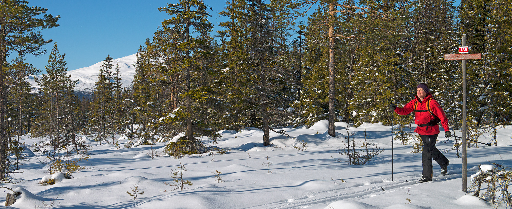


185

Vallbo milspår
Sheltered by mountain forests
The Vallbo 10 km trail is a great outing when the weather is poor.
But it is, of course, just as wonderful in fine weather.
The Vallbo 10 km trail is ungroomed but marked.
You can see the trail and your exact location by opening langdspår.se on your phone. You will need touring skis. During the winter sports holidays and the Easter weeks, the trail may occasionally be groomed for classic cross-country skiing once a week.
Start at the trail parking area in Vallbo, step onto the track out in the field, and ski toward the village. The trail runs between Per-Olsgården and Vallbo Fjällgård. After turning around a garage, you glide east across Utterbäcken. The narrow trail continues through old-growth forest, where you have a good chance of spotting tracks from various animals. You ski gently uphill through spruce forest and across marshland for four kilometers. Take the opportunity to pause and enjoy the view of the Anaris Mountains to the southeast.
The route then turns north through beautiful mountain forest, where long strands of lichen drape the spruce trees. Small birds thrive here – including the Siberian jay. Here and there, open mires break up the forest, offering glimpses of the surrounding mountains. About halfway along the loop, you begin a gentle downhill stretch, and as your skis glide more easily, you can fully enjoy the scenery. The final part of the tour offers pleasant, flat skiing that leads to a short downhill slope to Utterbäcken. After crossing the stream, the tour ends with a gentle climb back to the starting point.

Click on image to see larger map »